Ships in 1-4 business days
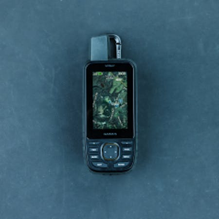
Garmin eTrex 32x
$300.00
Video | What’s Included | Specs | Pictures
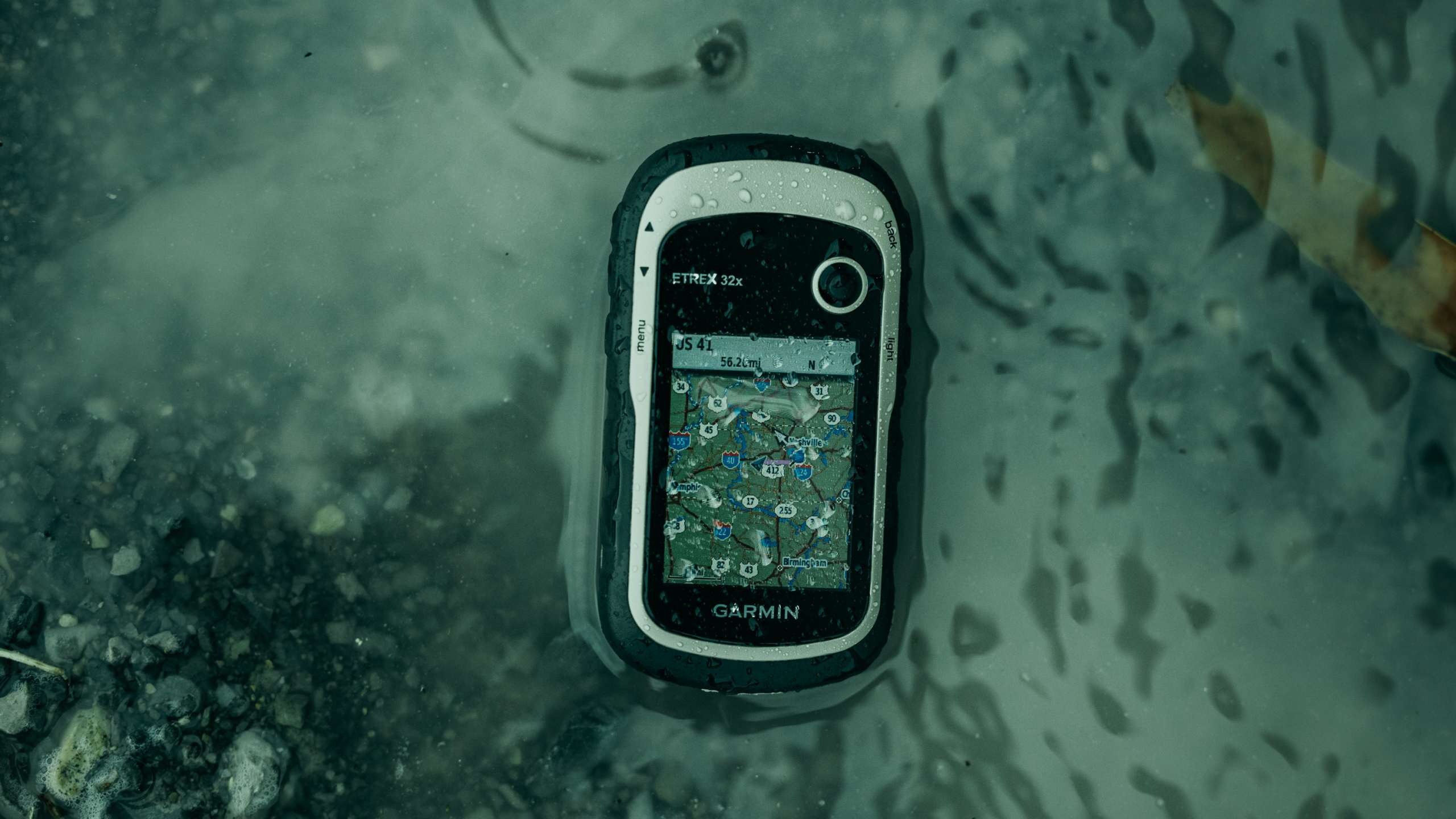
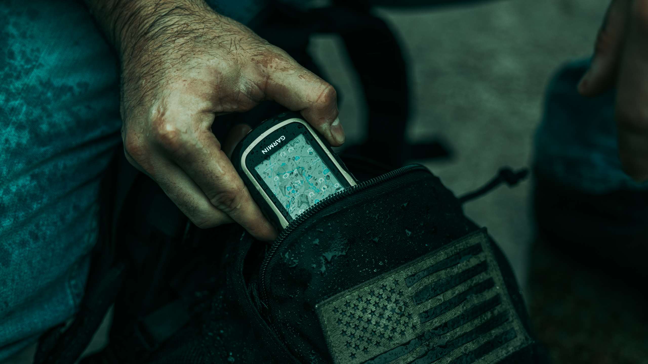
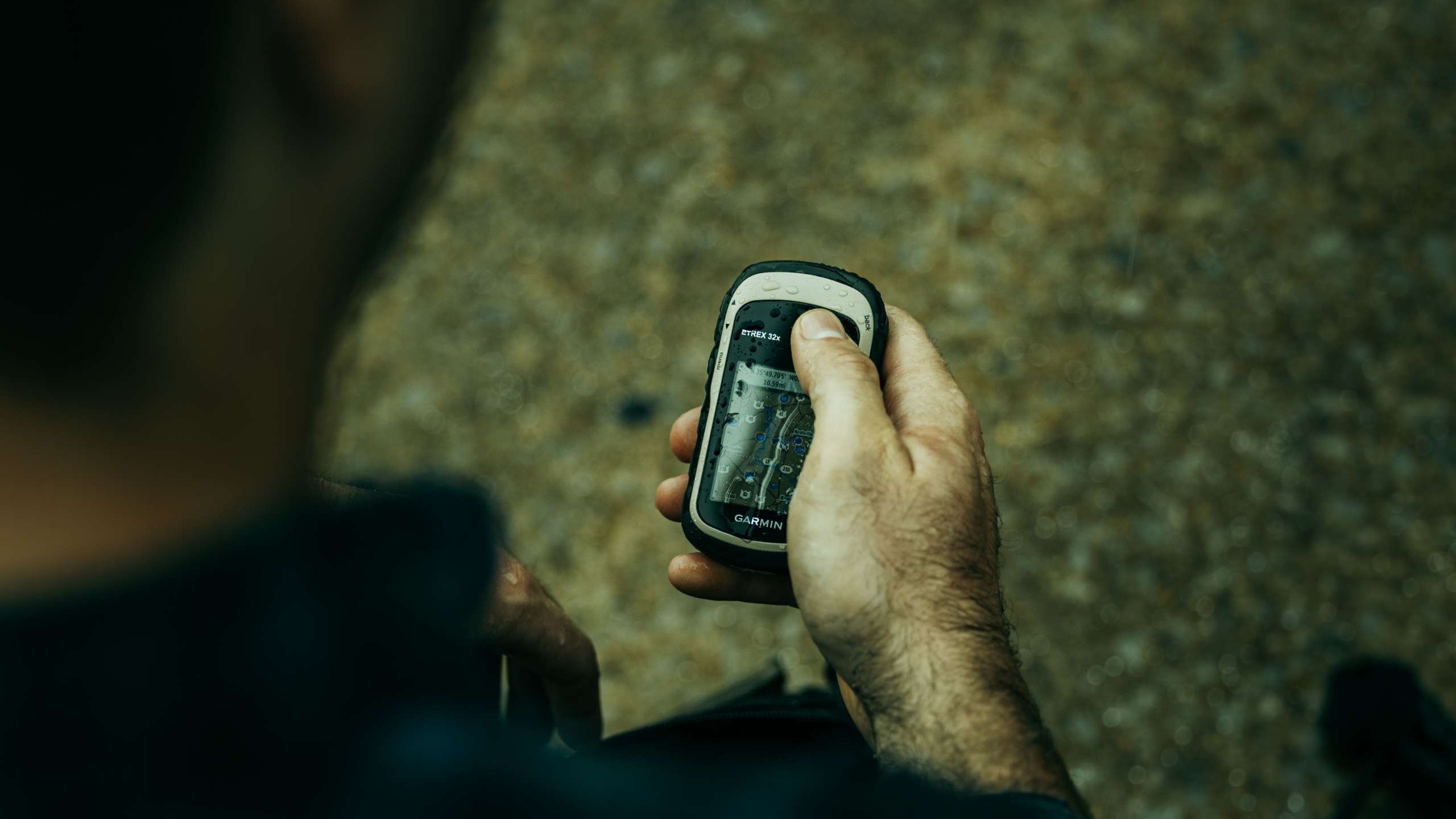
The Garmin eTrex 32x is a handheld GPS unit that is compact, lightweight, and durable. We wanted to offer this GPS unit due to the price point and simplicity for what it does. This GPS gives you all the basic off-grid navigation features for knowing where you are, and getting to where you want to go, as well as a few other nice features that can be useful in urban environments.
The Garmin eTrex 32x is an excellent option for those of you who want something low cost, uses common batteries, and is small enough to keep with you at all times.
OVERVIEW VIDEO
WHAT’S INCLUDED
- 1x Garmin eTrex 32x handheld GPS
- 1x USB cable
- 1x Documentation
SPECS
FEATURES
- Enhanced 2.2”, 65K color, sunlight-readable display
- Uses both GPS and GLONASS satellite systems
- Built-in 3-axis compass and barometric altimeter
- Durable and water resistant
- Wherever you think you might take eTrex, it has the mapping and mounts to get you there.
- Preloaded with road-routable TopoActive maps for outdoor activities that feature streets and trails so you can take the journey off the grid.
- See waterways, natural features, buildings, international boundaries, and more, with thousands of points of interests, including shops, restaurants, universities, car parks and accommodations.
- City Navigator NT maps for turn-by-turn driving directions for motorized vehicles.
- Supports paperless geocaching. Upload GPX files straight to your device, and view key information such as location, terrain and hints from Geocaching.com
Made in Taiwan.
View the Owner’s Manual HERE.
SPECIFICATIONS
| GENERAL | |
| Dimensions | 2.1″ x 4.0″ x 1.3″ (5.4 x 10.3 x 3.3 cm) |
| Display Size | 1.4″ x 1.7″ (3.5 x 4.4 cm); 2.2″ diag (5.6 cm) |
| Display Resolution | 240 x 320 pixels |
| Display Type | 2.2″ Transflective, 65K color TFT |
| Weight | 5 oz (141.7 g) with batteries |
| Waterproof | IPX7 |
| Battery Type | 2 AA batteries (not included); NiMH or Lithium recommended |
| Battery Life | 25 hours |
| Interface | mini USB |
| Memory/History | 8 GB |
| Connections | Wireless Connectivity (ANT+) |
| Smart Features | VIRB Remote |
| MAPS & MEMORY | |
| Preloaded Maps | TopoActive; Routable |
| Ability To Add Maps | ✔ |
| Basemap | ✔ |
| Automatic Routing (Turn by Turn Routing on Roads) For Outdoor Activities | ✔ |
| Map Segments | 3000 |
| Includes Detailed Hydrographic Features (Coastlines, Lake/River Shorelines, Wetlands and Perennial and Seasonal Streams) | ✔ |
| Includes Searchable Points of Interests (Parks, Campgrounds, Scenic Lookouts and Picnic Sites) | ✔ |
| Displays National, State and Local Parks, Forests, And Wilderness Areas | ✔ |
| External Memory Storage | 32 GB max microSD card |
| Waypoints/ Favorites/ Locations | 2000 |
| Tracks | 200 |
| Navigation Track Log | 10000 points, 200 saved tracks |
| Navigation Routes | 200 routes, 250 points per route; 50 points auto routing |
| SENSORS | |
| High-Sensitivity Receiver | ✔ |
| GPS | ✔ |
| GLONASS | ✔ |
| Barometric Altimeter | ✔ |
| Compass | Tilt-compensated 3-axis |
| GPS Compass (While Moving) | ✔ |
| OUTDOOR RECREATION | |
| Point-To-Point Navigation | ✔ |
| Area Calculation | ✔ |
| Hunt/Fish Calendar | ✔ |
| Sun and Moon Information | ✔ |
| Geocaching-Friendly | Paperless |
| Custom Maps Compatible | 100 custom map tiles |
| Picture Viewer | ✔ |
PICTURES